Exploring Geographic Information Systems

29, Jun, 2021

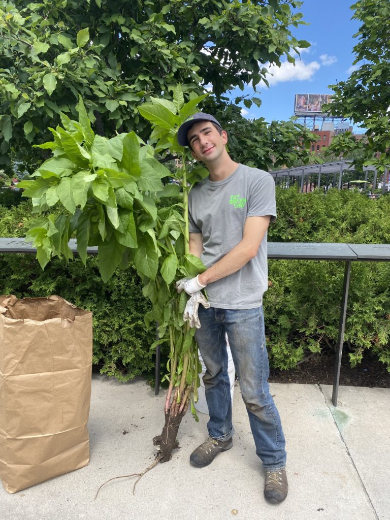
Written by Dawson Stout, Horticulture Intern

Hey there! I’m Dawson Stout, a Horticulture Intern for the Greenway Conservancy. In addition to all the great time I spend outside weeding, watering, and planting, I have also worked to incorporate new technologies to optimize and simplify daily park operations.

Studying biology and international relations at Tufts University, I am deeply interested in the relationship between human and environmental health. Reflective of this interest, I took several courses on GIS, a technology well established in both public health and ecological fields alike. GIS stands for Geographic Information Systems which – to put more simply – can be used to make really cool, really informative maps. Maps made on this software can perform a number of functions; these can range from basic inventory management of park assets like trees, aid horticulturalists in monitoring growth and spatial change in the park over time, or – with more complex spatially informed statistics – we can uncover hidden trends and physical relationships between objects in the environment. 

The project explores the many ways we can use GIS to the benefit of the ecological horticulture that the Greenway Conservancy promotes. GIS can be used to inventory and map the physical environment. More complex methodology can conceptualize how we can use three dimensional, laser-generated models of the park to measure growth and health of trees. GIS can be a powerful tool when used by expert horticulturists to uncover trends in park health across space and time.

But wait there’s more! 

Beyond this project, GIS has the potential to greatly upgrade the level of horticulture on The Greenway. Future implementation of the technology can be used to optimize planting both in anticipation of climate change and in pursuit of supporting pollinators and biodiversity in the urban environment; it can be used to decrease park-wide water usage and direct it to the plants that might need it the most. We can use GIS to encourage community outreach and it can be used as a tool to address social inequality that may be spatially established. 

This and much more is explored in my project. I hope it’s an exciting introduction to this new and powerful technology and a clear demonstration of its vast potential!

Enjoy  : )

Dawson’s internship is one of three summer workforce development opportunities made possible through a generous grant from Citizens.